


Environment
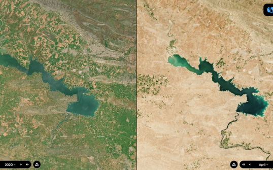
Satellite imagery and climate change : monitoring the impact of drought in Iraq
On the occasion of the United Nations' World day to combat desertification and drought (17 June), Kermap’s Earth observation platform Nimbo Maps helps putting images and figures on Iraq’s critical situation
Urban planning
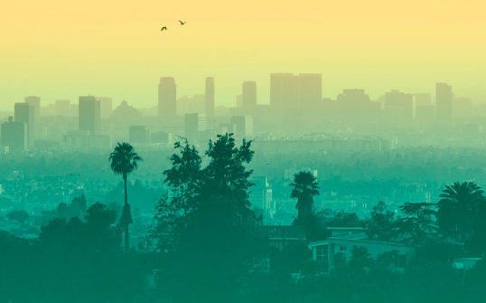
Climate change in 2021 : a view from the cities
A few days from the end of a year that might be historic, let's have a look back at 2021's climate in 24 cities across the world with Klover.
Urban planning
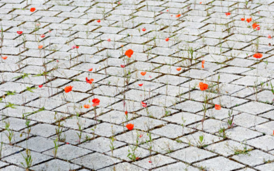
Urban vegetation: the case for green cities
Providing more green spaces to city dwellers, yes, but where do we start? New technologies applied to GIS may hold the key.
Urban planning
Land-use inventory, past and present
In a bid to contain land take and soil sealing, the NICE ECOVALLEE authority enrolled Kermap to get a clearer picture.