


Your


Our services


Data generated by Kermap helped illustrate the richness of our area's natural heritage while promoting our public action
Fabienne Mordellet
Pays de Saint-Brieuc land planning authority (PETR)
We were satisfied with Kermap's responsiveness and ability to interact with all parties involved in the project.
Pauline Pistre
Nice Ecovallée
Working with Kermap facilitated the comparison between historic and newly extracted data. The diversity of sources helped the regional nature park establish a reliable geographic dataset.
Alexandre Crochu
Gulf of Morbihan's Regional nature park
Our expertise

Data production
Airborne and satellite imagery processing through innovative IA models

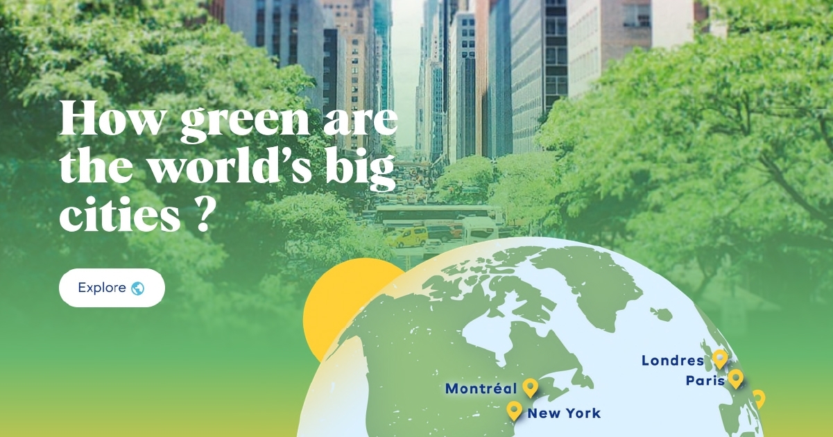
Geospatial analytics
Satellite data interpretation, modeling of human and natural dynamics

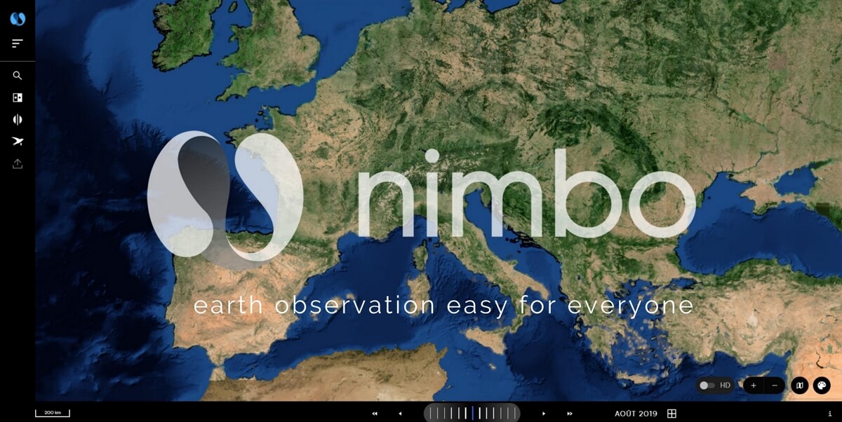
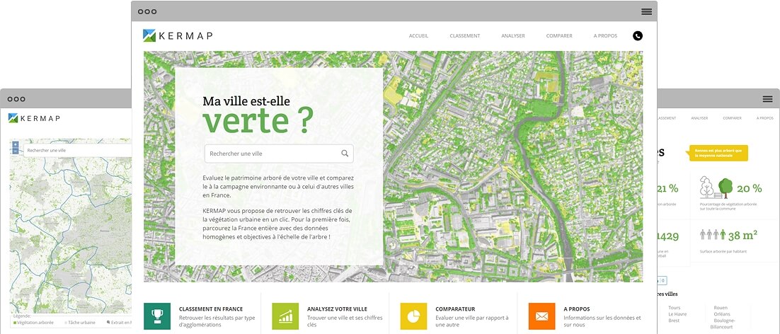
Data visualization
Easy access to actionable geographic information through our interactive maps, dashboards and platforms
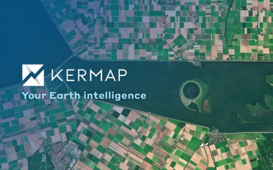
About Kermap
Six years into existence, our technologies to process satellite and airborne imagery have demonstrated their reliability and efficiency. Discover our story, our savoir-faire and the many public and private customers or partners who trust our solutions.
More readings
Kermap News
Kermap completes first fundraising round to accelerate and fuel international expansion
Kermap takes a new step in its development with this operation supported by Sodero Gestion and NGO Earthworm Foundation
Kermap News
Kermap wins French Tech Deep excellence program DeepNum20
Kermap enters La French Tech's new excellence program gathering the 20 most promising deeptechs developing disruptive technologies.
