Our Story
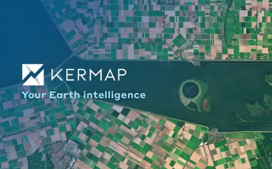
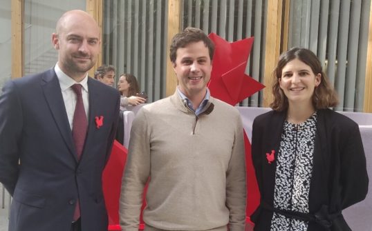
Kermap was built on a firm belief, entertained by its co-founders Antoine Lefebvre, Nicolas Beaugendre and Thomas Corpetti. Namely, that satellite imagery and airborne photographs contain a wealth of information. And that most of it lies unused due to a lack of accessibility to local authorities, businesses or even the wider public.
Kermap’s response to this was that AI, i.e. artificial intelligence, should take geospatial expertise to another level. Uniquely rich data can indeed be obtained through the gain in processing power brought about by our deep-learning methods. The magnitude, efficiency and reliability of these innnovative geospatial solutions have already convinced dozens of public and private partners since Kermap was founded in 2017.
French savoir-faire
Kermap’s success relies on a triple expertise. Remote sensing and photointerpretation, to make sense of satelite images and aerial photographs; AI and deep-learning to create computer models that will correctly process massive volumes of data; datavisualisation through tools and platforms facilitating access to information that really matter.
We rely on these cutting-edge geospatial services to efficiently support local authorities, businesses and other public or private organizations in their actions towards environmental transition, sustainable planning and quality of life improvement.
Kermap, trusted by…
Only four years into operation, Kermap has already assisted many public and private customers in the production, analysis and visualization of data from satellite images or airborne photographs:
Local authorities
Région Grand Est, Département de la Dordogne, Département de Seine-Saint-Denis, Département de Mayotte, Ville de Nice, Rennes Métropole, Montpellier Méditerranée Métropole, Limoges Métropole, Ville de Troyes, Ville de La Roche-sur-Yon, Pays de Saint-Brieuc…
Government and public agencies
French ministry for Agriculture and Food, Eau de Paris, Agence régionale de santé Occitanie, Parc Naturel du Golfe du Morbihan, Bureau de recherche géologique et minière (BRGM – French geological survey), French National Centre for Scientific Research (CNRS), National Research Institute for Agriculture, Food and Environment (INRAE)…
Private organizations
Earthworm Foundation & Sols Vivants, Everimpact, Farmleap, MyEasyFarm, OKP4
and supported by
European Space Agency, France’s National Centre for Space Studies (CNES), Copernicus Incubation, Solar Impulse Foundation, BPI France, Airbus, Dassault Systèmes, IGN Fab, La French Tech – Le POOOL, Le Village by CA, BPO Grand Ouest, IMT Atlantique, Pôle Images & Réseaux


